


Ha Giang Loop
By Faye Hilling•June 10, 2026•20 min read
Ha Giang Loop Packing List (2026): What to Pack for Every Season + Gear Checklist
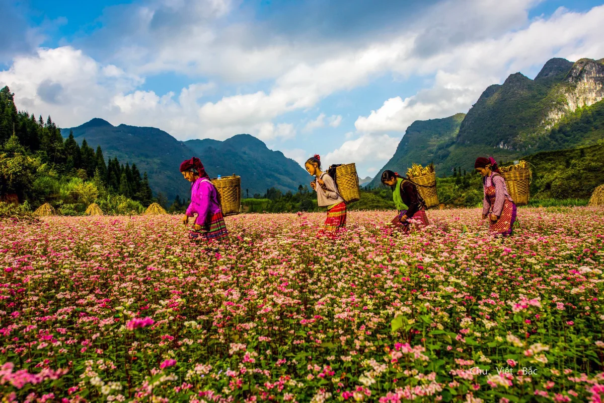
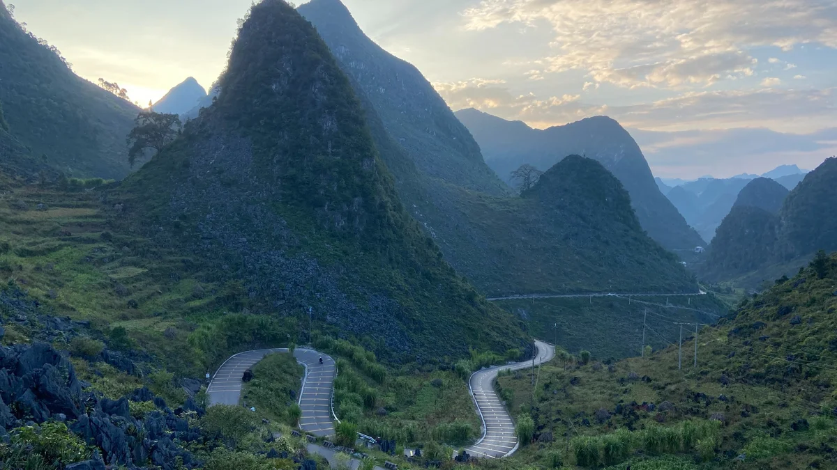
If there’s one thing more dramatic than the mountain views in northern Vietnam, it’s the weather. And if there’s one thing that can make or break your trip, it’s packing for the Ha Giang Loop properly.
Read More